We design, develop and implement geographic solutions based on GIS technology.
GIS-based solutions
GIS-based solutions
GIS (Geographic Information System ) is an acronym used to refer to information systems that handle geo-referenced data. We enjoy working on any project where this data needs to be stored, processed, analysed and visualised in a user-friendly manner.
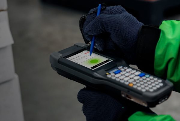
Due to the increasingly widespread use of beacons, trackers, drones and other devices capable of obtaining locations and other associated data, the number of projects that need to take advantage of this valuable information has grown exponentially. Displaying it in an agile way on designs with different mapping techniques, offering geolocalised services which are valuable for the user, and a myriad of other possibilities are becoming more and more common.
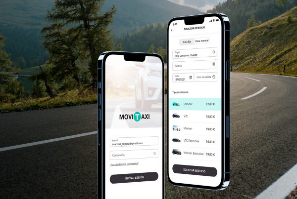
Vehicle fleet management, geo-tagging of assets, ensuring security in production sites, monitoring agricultural plots, land registry maps, online marketplaces with geolocated products… These are only a few examples of the projects we deal with. If you are currently looking for reliable professionals who can develop your project, do not hesitate to contact us.

Shall we talk?
Please contact us if you have an idea for a web and/or mobile application, we will help you make it happen.